Print Layout
Print or download a map with customized layout options and print in various sizes, quality, and formats.
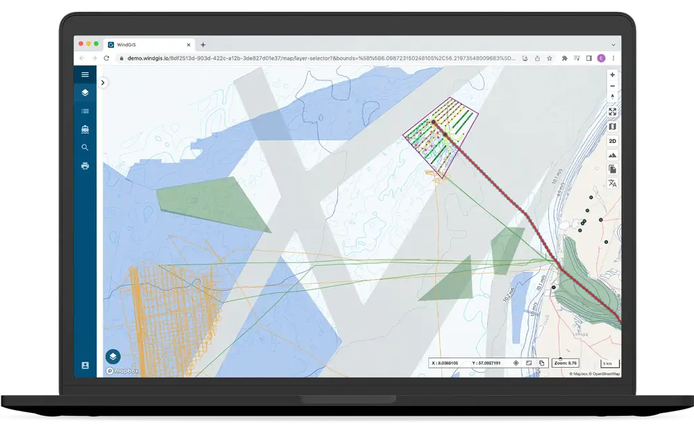
Data Download
Download selected data in shapefile format and other common GIS formats.
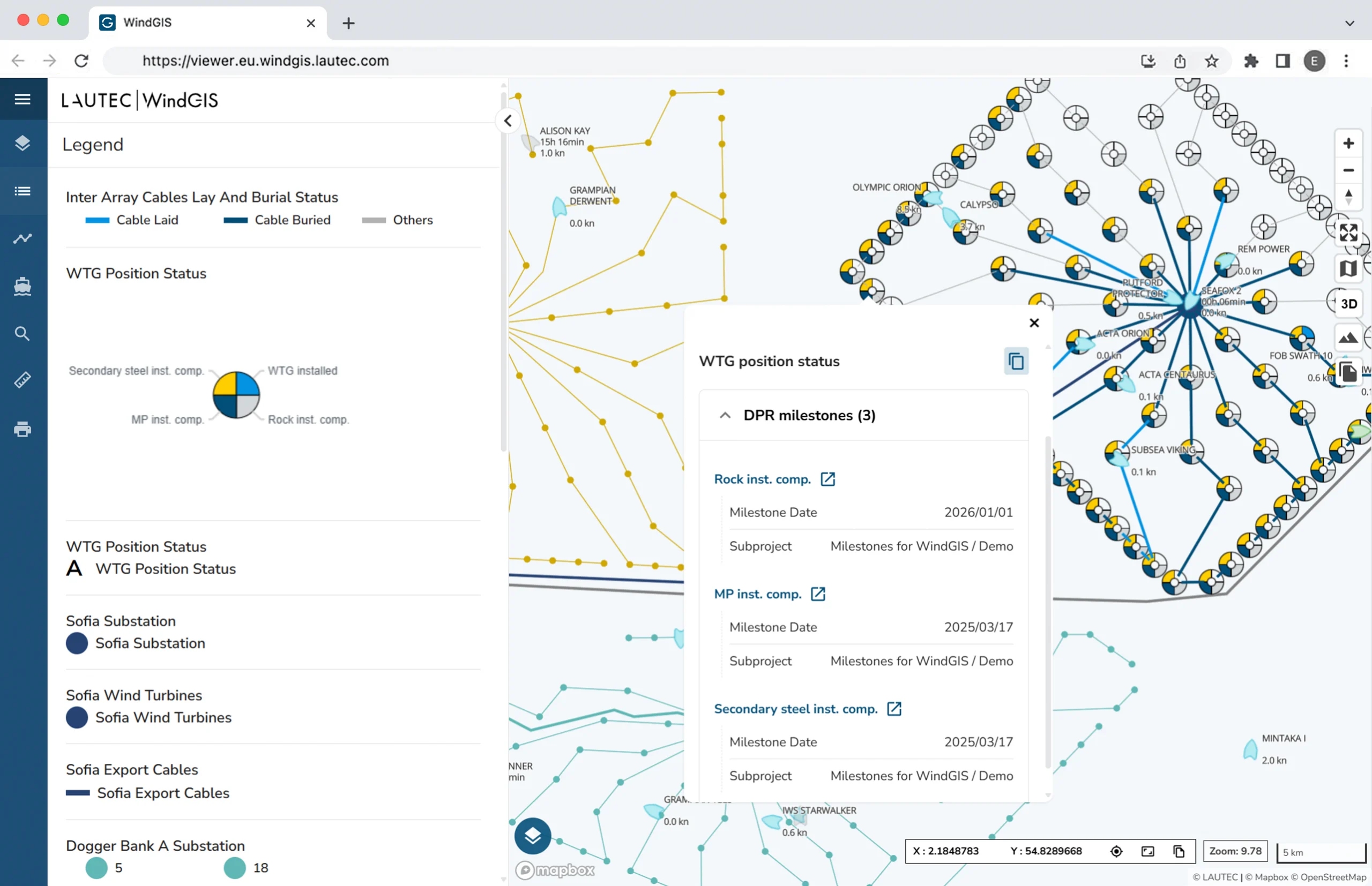
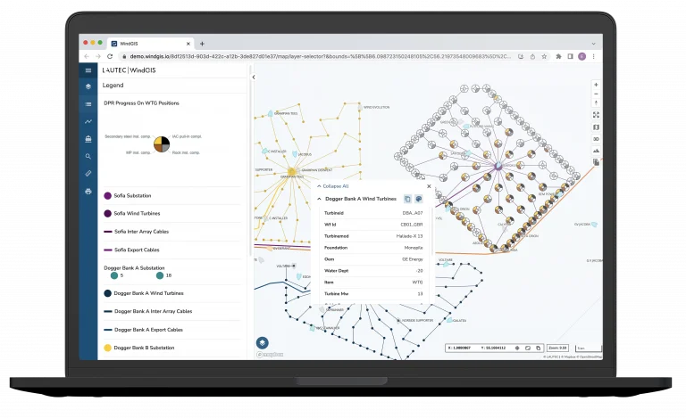
Share Map Views
Create a thematic map view and share it with other project users.