WindGIS

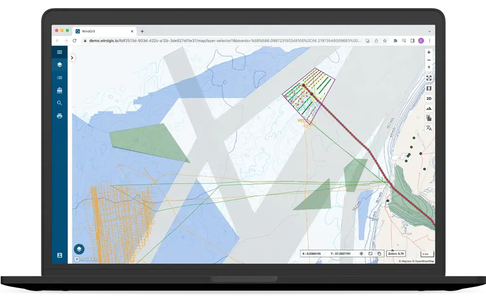
Advanced Web GIS System

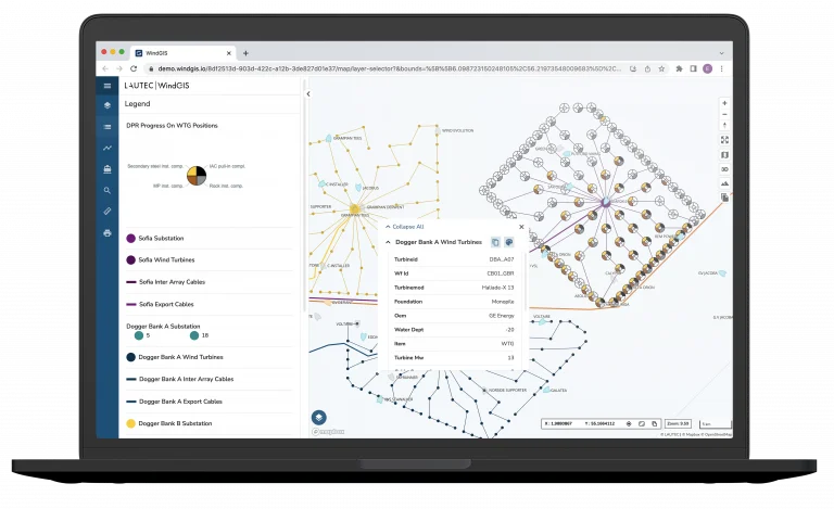
Organise all GIS data centrally and enable advanced GIS data exploration across project team members with WindGIS. Our cloud-based, high-performing Geographic Information System (GIS) provides project-wide GIS data management and advanced, intuitive map functionality. The system is based on vector tile technology for top-performance and is compatible with all major GIS desktop software systems.

WindGIS Presentation Video

Watch our Co-Founder, Henrik, explain how our WindGIS system organizes all of your GIS data and improves team collaboration at every step of your project.

Benefits

Everyone on the Same Map

Easy Data Usage

Save time with our one-stop solution for all geospatial data in your project

Enhanced Collaboration

Easily share data internally and externally in your organization

Data Integrity

Improve data quality and traceability through data standards and metadata

Data-Driven Decisions

Understand project-critical spatial patterns and relationships 

Scalable System

Expandable platform to fit both MW and GW size projects.

Cloud-Based Access

Use the platform from the office, home and offshore

FEATURES

Get the Most Out of Your GIS Data

Data Download + Print Layout + Share Map Views

Print Layout
Print or download a map with customized layout options and print in various sizes, quality, and formats.

Data Download
Download selected data in shapefile format and other common GIS formats.

Share Map Views
Create a thematic map view and share it with other project users.

Measure Tool + Coordinate Tools + Object Drawing

Measure Tool
Easily measure distances and areas in different units.

Coordinate Tool
View and capture cursor coordinates.

Object Drawing
Draw temporary layers and download in common GIS formats. Upload common GIS file formats to temporary storage to view and validate data.

Map Viewer + 3D View + Basemaps

Map Viewer
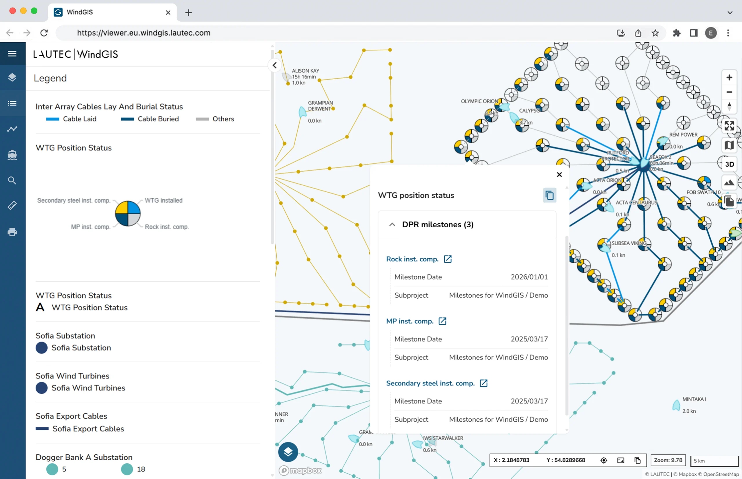
Easily browse and interact with your spatial data. Change the default style to match your needs. Upload, view, and manage both vector and raster data.

3D View
Dynamically change to 3D terrain to visualize the landscape topography.

Selection of Basemaps
Choose from a collection of background maps, for example nautical charts, and change labels to another language.

previous arrow
next arrow
Explore now

Try the WindGIS Viewer App on Our Demo Site

Explore the capabilities of WindGIS with our demo site featuring an assortment of interesting energy-related GIS data from Denmark.

AIS DATA

Live Vessel Tracking 

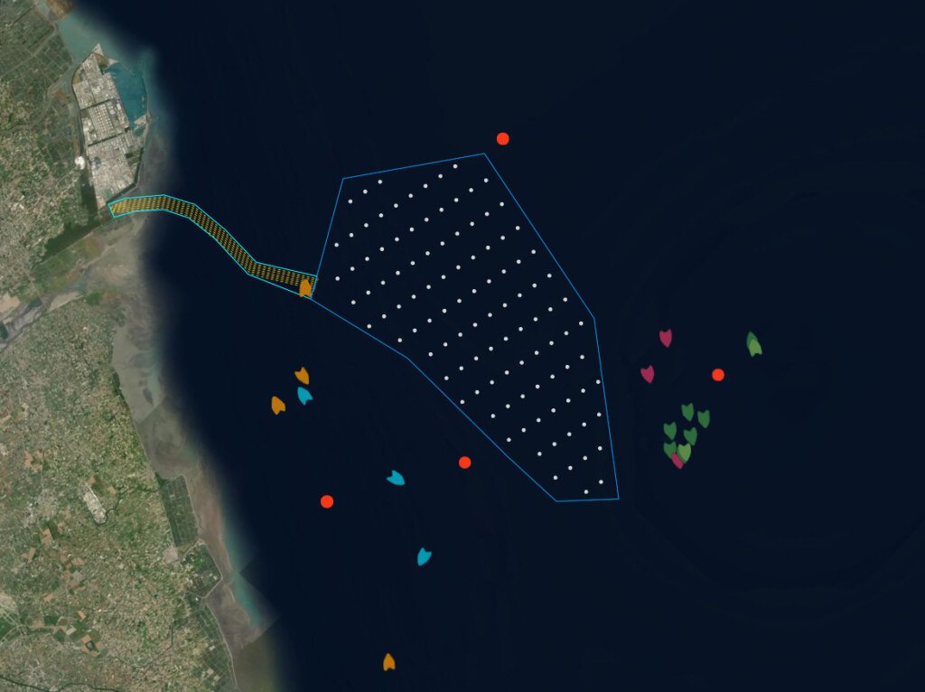
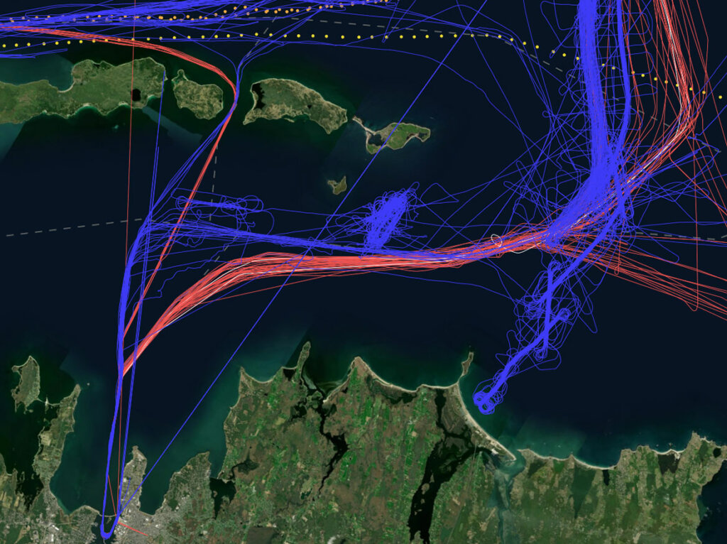
Track real-time positions of vessels. Trace vessels by overlaying vessel AIS positions on your existing project GIS data. We can provide:

  • Positions of a static fleet
  • Positions of a dynamic fleet
  • Positions in a predefined bounding box
  • Historical vessel data
Wind GIS LAUTEC
fidu

Field Reporting & Data Integration Made Easy

Upload and verify spatial data to track progress on contractor deliverables. Designed for offshore contractors, our web-based Field Data Uploader (FiDU) solves the challenge of non-compliant data deliveries in offshore surveys and construction. Benefit from: 

  • Automated merging with larger datasets 
  • Automated transfer of validated data to storage or structured database 
  • Auto-generated email confirmations for client specifications 
  • Front-line quality checks before data transfer to the worksite 
Wind GIS LAUTEC

WindGIS is being used by our clients for project development and construction in Europe, Africa, Asia, North and South America, Australia and Oceania.

Frequently Asked Questions

The system is hosted on Microsoft Azure, and the SaaS server will be created and stored in your preferred region, typically geographically closest to your users. 

LAUTEC can provide both a fully hosted system, with support from LAUTEC’s specialists, or let you manage it yourself. For self-management of the system, we recommend working with a GIS specialist who knows all about data formats, management, and setup.

In WindGIS, you can control user permissions on granular levels from site level to dataset level.

Yes. It’s possible to create user groups with special access permissions.

For uploading GIS data to the system, the supported vector-formats are shapefiles, GeoJSON, and csv text files. Raster-formats support is for MBTiles. Other formats can be handled by conversion in a desktop GIS software. 

Yes. You can access survey reports and other documents through WindGIS, linking to your document management system (e.g. PIMS, SharePoint). For example, you can view geotechnical survey logs and data linked to sampling or testing point locations in WindGIS.

GIS Management

Location Intelligence Services

To fuel the WindGIS system, we offer in-house consultants to assist you in managing your data across all project phases. 

Want to know more?

Contact a Specialist