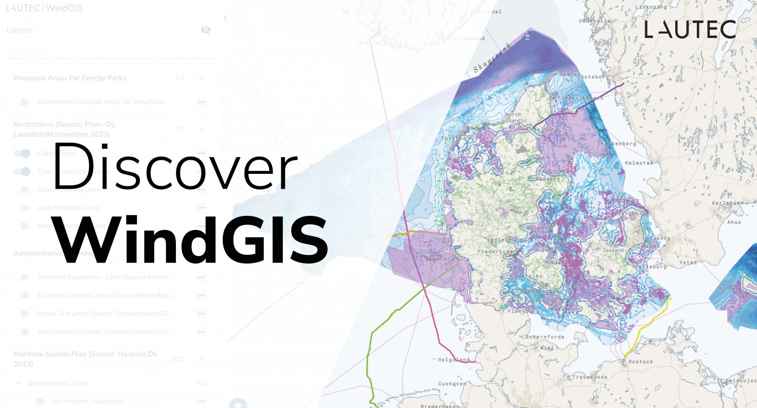
Discover WindGIS, our advanced web GIS system, through exploring our new demo site featuring an assortment of interesting energy-related GIS data from Denmark.
A Map for Everyone
Recently, the Danish government proposed 32 specific areas for green energy parks in the country.
In our mission to make this information easy to understand and accessible for everyone interested in the green transition, we have built a free Danish WindGIS demo site!
On our web-based map, you can visualize this data in relation to all current wind and solar energy farms, getting a simple overview of the current status of Denmark’s renewable energy projects and what the future might hold for the country.
And this is just the start! We will be continuously adding more useful, energy-related geospatial data to our map, providing free, publicly accessible overviews of Danish renewable energy projects in order to make visualizing complex information both easy and quick.
Try the WindGIS demo for yourself now! https://lautec.com/discover-WindGiS/
Want to Learn More about WindGIS?
Contact a specialist at contact@lautec.com to find out more about how WindGIS can centralize and bring your GIS data to life.
Read the Danish government’s report and initiatives here (only in Danish).


